Περιγραφή
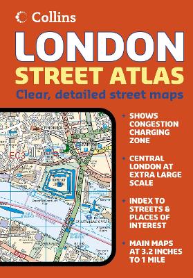
“1:20,000 3.17 inches to 1 mile. 6.4 inches to 1 mile for central area (1:10,000). This handy little atlas features high quality Collins mapping. A huge amount of detail is contained within the mapping without compromising the clarity. Central London is mapped at a larger scale. MAIN FEATURES • Extremely clear, attractive, full colour mapping with enlarged central area • Full index to place and street names • Theatres and cinemas map, plus shopping map INCLUDES • Colour coded primary routes and public buildings • Street markets and pedestrian streets • Borough boundaries plus postal district boundaries and codes AREA OF COVERAGE Extends from Epping Forest in the north to Chessington in the south and from Heathrow in the west to Bexley in the east. WHO THE PRODUCT IS OF INTEREST TO This atlas, with its huge amount of detail and the clarity of the mapping is an essential purchase for all residents and businesses in and around London.”


Αξιολογήσεις
Δεν υπάρχει καμία αξιολόγηση ακόμη.